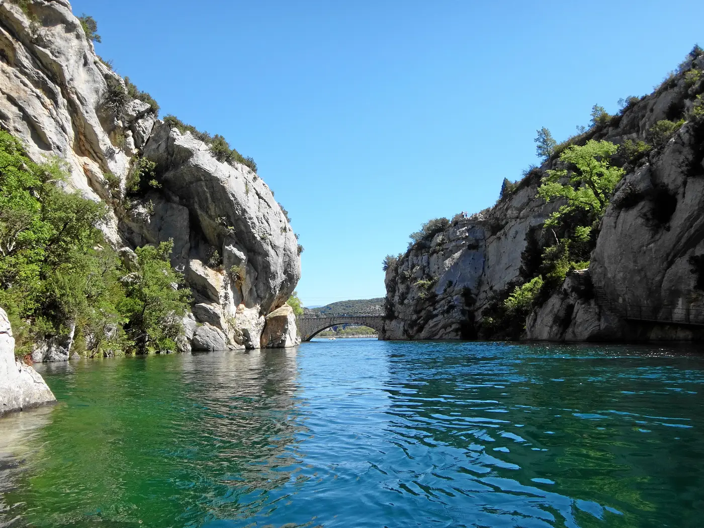
The sentier du Garde-Canal is the flagship hike of the Basses Gorges du Verdon. Setting off from the pont de Quinson, you walk in the footsteps of the keeper of the old canal du Verdon — the one that once supplied Aix-en-Provence with water. It’s a shaded loop that follows the turquoise water along wooden walkways and metal stairways, with the option of climbing up to the chapelle Sainte-Maxime. Accessible and worth doing even out of season, here’s everything you need to know — backed by cross-checked figures.
Verified on 5 July 2026 against the official record of the Parc naturel régional du Verdon (cheminsdesparcs.fr) and la Provence Verte.
The essentials
| |
|---|
| Distance | 10.5 km |
| Elevation gain | 310 m of ascent |
| Duration | 3h45 |
| Difficulty | Easy |
| Type | Loop (or there and back) |
| Start | Quinson (car park near the Musée de la Préhistoire / pont de Quinson) |
| Finish | Chapelle Sainte-Maxime (loop back) |
The truth about the numbers
As so often in the Verdon, the distance shown depends on the source and on the GPS track that was recorded. Here are the published figures and the one we use — with why.
| Data point | Value used | Other values seen | Why we settle it this way |
|---|
| Distance | 10.5 km | 9.8 km (official Outdooractive record, 310 m of ascent) · 11.3 km (blog, 400 m of ascent) · 14.6 km (community review, 06/2026) | Figure from the official PNR record (cheminsdesparcs.fr), consistent with la Provence Verte. The 14.6 km comes from an isolated community measurement, still to be confirmed. |
| Elevation gain | 310 m of ascent | 307 m · 400 m (blog) | The PNR and Outdooractive converge around 307-310 m; the blog’s 400 m is set aside for lack of corroboration. |
| Duration | 3h45 | 3h30 (blog) | Duration from the official record; the gaps are minor and consistent with easy walking. |
A bit of history
The canal du Verdon was built between 1866 and 1875 to supply Aix-en-Provence with water. Nearly 3.3 km of this canal have been laid out as a hiking trail since 2014. The route follows the patrol path once walked by its keeper — the garde-canal, the canal warden — hence the name of the loop.
What you walk through
- The old canal du Verdon: the 1866-1875 structure that supplied Aix-en-Provence.
- The laid-out section: about 3.3 km of the canal turned into a trail since 2014.
- The abri du garde-canal: a small shelter with interpretive panels, on the bank of the canal, where the trail’s keeper once lived.
- A 120 m tunnel: completely dark, walked along the old canal bed before coming out via a metal stairway — head torch or flashlight required.
- Walkways and stairways: wooden walkways and metal stairways that follow the line of the turquoise water.
- The chapelle Sainte-Maxime (optional): a climb that opens up a 360 degree view.
- A shaded route: pleasant outside the high season too.
- The Musée de Préhistoire des gorges du Verdon, right beside the start at Quinson.
What’s still missing
We’d rather say it openly: the official distance is still to be settled definitively between 9.8, 11.3 and 14.6 km depending on the source; the number of reviews is not documented (so we display no rating); and the recommended direction of the loop is not specified by the sources. These fields will be completed as soon as a reliable source documents them.
Sources
Data cross-checked and verified on 2026-07-05: PNR du Verdon (cheminsdesparcs.fr), la-provence-verte.net, Outdooractive, Wikiloc, Les Deux Petits Baroudeurs, Le Blog Cash Pistache. Discrepancies kept and flagged above. No invented data: a missing field is flagged as such.
Dogs, water, tunnel and abri du garde-canal added and verified on 2026-09-19, single source:
official record of the Parc naturel régional du Verdon (cheminsdesparcs.fr).