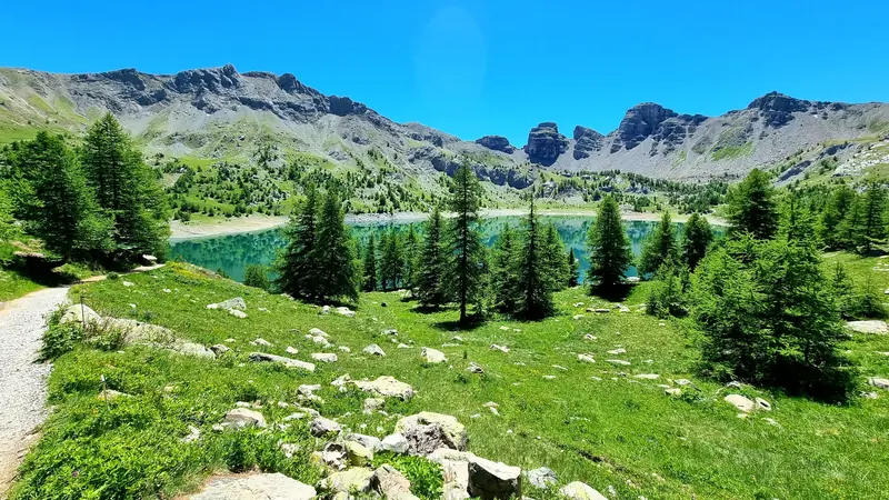
Walk around the lake
About 1 h around the water. The Park’s loop from Le Laus is 7.6 km (3 h) and can be done with a joëlette (all-terrain wheelchair).
Park trail sheet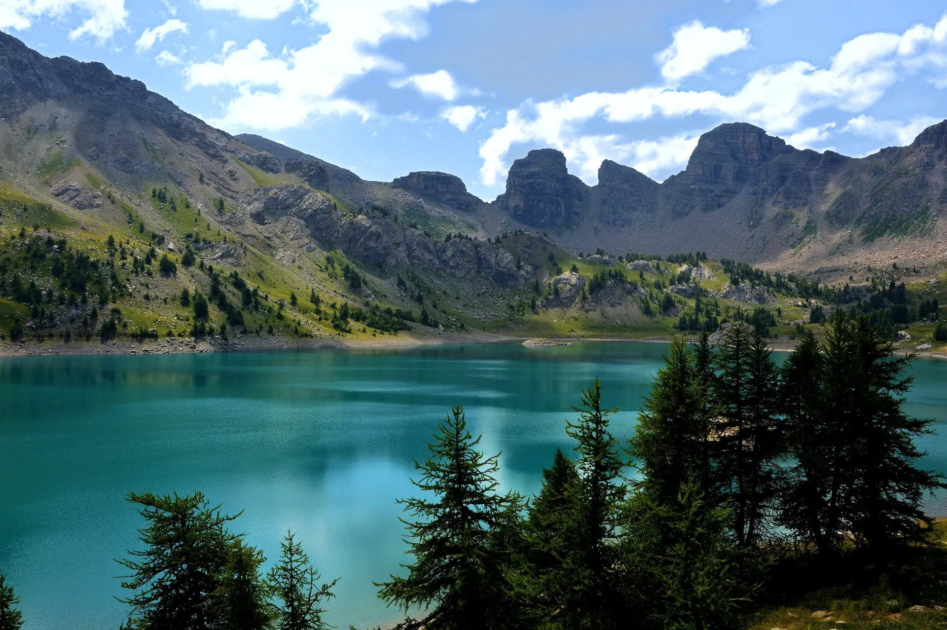
A high-mountain lake in the heart of the Mercantour, with turquoise water, alpine pastures and limestone towers.
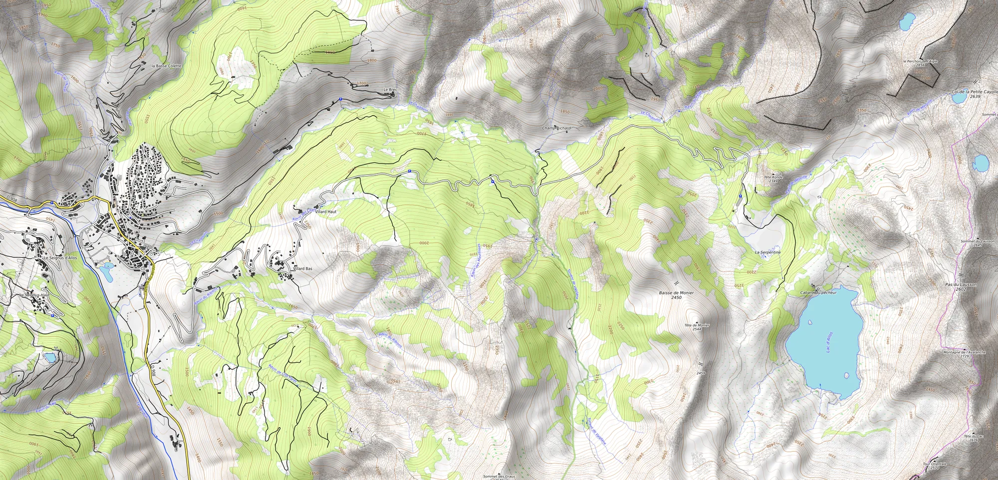 Allos villageLa CluiteLa ChaupLe LausRefuge Lac d’Allos
Vehicles over 2.10 m: up to the La Chaup car park only. In 2026, the free Val d’Allos shuttles do not go up to Le Laus.
About 1 h around the water. The Park’s loop from Le Laus is 7.6 km (3 h) and can be done with a joëlette (all-terrain wheelchair).
Park trail sheet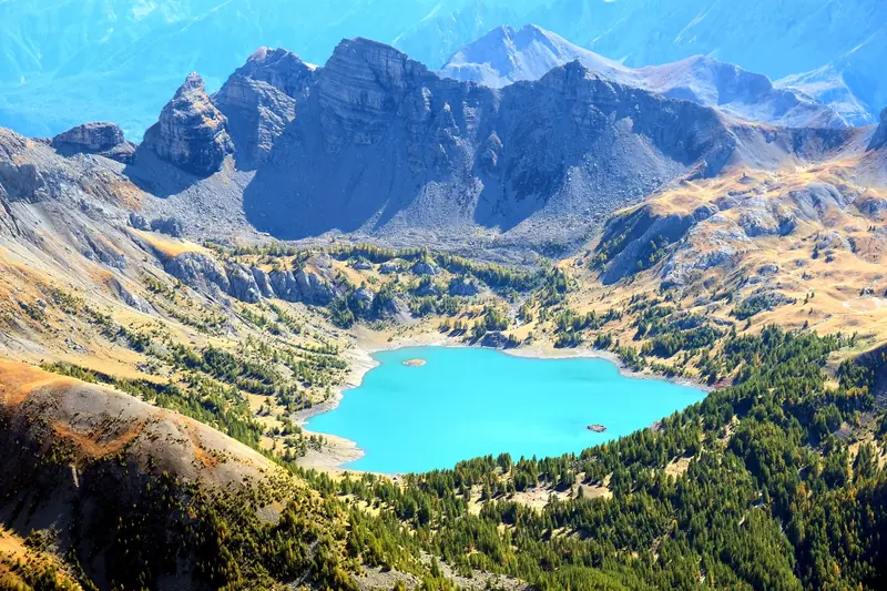
About 3,050 m, the area’s great summit: 6 h 30 there and back from Le Laus, a difficult route.
Park trail sheet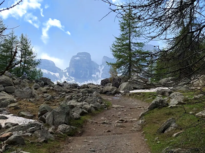
Walk up from La Cluite (GR56) or from the village (GR56B): a proper day in the mountains.
Our hikes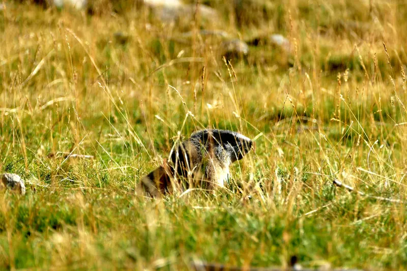
On the grassy slopes around the lake. The Park information point at Le Laus runs workshops in summer.
Park info point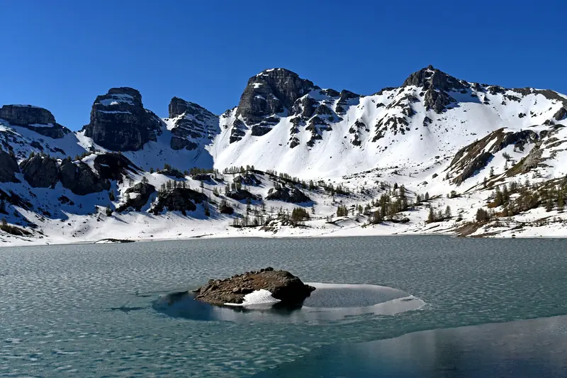
Early in the season, snow and ice still line the lake.
Period : Road opened on 29 May in 2026
On site : Snow possible by the water
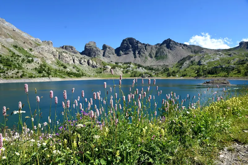
The refuge is staffed and the Park info point is open every day in July and August.
Period : 4 July to 30 August 2026: paid car park every day
On site : The busiest period
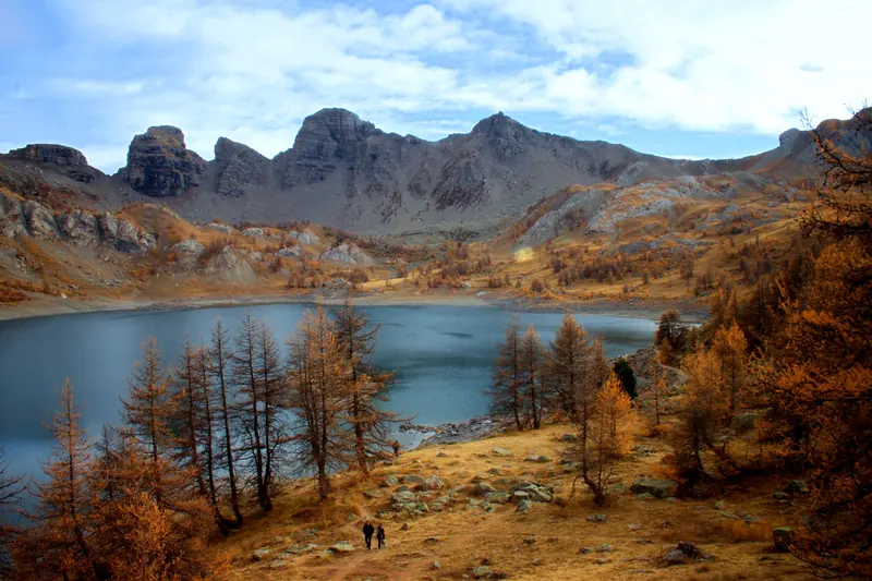
The larches turn gold around the water and the crowds leave.
Period : Paid weekends in September, then 17 October to 1 November 2026
On site : Refuge closed after September
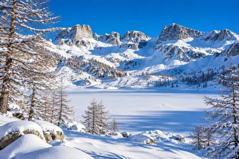
Road closed: on foot from La Chaup, on an unsecured route (avalanche gullies).
Period : About 7 h there and back
On site : Staffed refuge closed
From Allos village, follow the D226 and then the lake road to the Laus car park, then walk for about 45 minutes. In 2026 the road opened on 29 May; it closes as soon as there is snow or ice.
At the Laus car park, the closest one (1 h 30 there and back on foot). Lower down, the free car parks at La Cluite (about 100 spaces) and La Chaup (about 10 spaces) mean a longer walk.
In 2026, access is paid and limited from 7:00 to 17:00 on the weekends of 13-14, 20-21 and 27-28 June and 5-6, 12-13 and 19-20 September, and every day from 4 July to 30 August: €12 per car, €6 per motorbike, free by bicycle. Some spaces can be booked on valdallos.com. From 17 October to 1 November, payment on site only, from 8:00 to 16:00.
No. The lake lies in the core of the Mercantour National Park, where dogs are banned all year round, even on a lead or carried.
No: a municipal order bans swimming, and water activities are not allowed.
No. The Park only allows bivouacking more than one hour’s walk from a road access, from 19:00 to 9:00 (order 2018-07); the shore is less than an hour from the Laus car park. Camping is banned everywhere in the core of the Park.
No, flying drones is banned throughout the core of the Mercantour National Park.
It is staffed from June to September (40 places, half board); book on 04 92 83 00 24. There is no mobile signal and no guaranteed drinking water on site.
About 45 minutes from Le Laus, 2 h 30 from La Cluite, 3 h 15 from La Chaup; from the village, allow 7 h there and back.
The walk around takes about 1 h. The Park’s loop from Le Laus (7.6 km, 3 h) can be done with a joëlette, lent free of charge on booking by the tourist office; the refuge is not wheelchair accessible.
No. In 2026, the free Val d’Allos shuttles link the villages (the village, Le Seignus and La Foux, from 4 July to 30 August) but do not go up to Le Laus.
From the opening of the road (late May or June) until autumn. July and August are the busiest; September and the October larches are quieter.
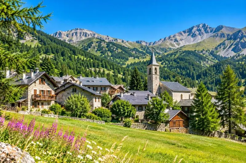
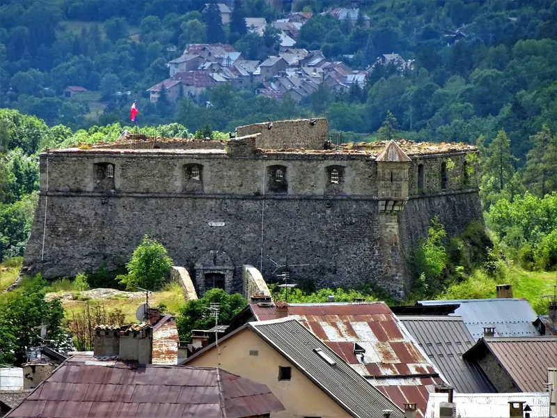
A fortified village of the Upper Verdon, between Fort de Savoie and Fort de France.
Discover Colmars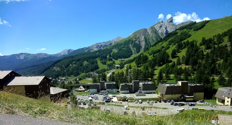
The resort at the top of the valley, linked to the village by a free shuttle in summer.
The Val d’Allos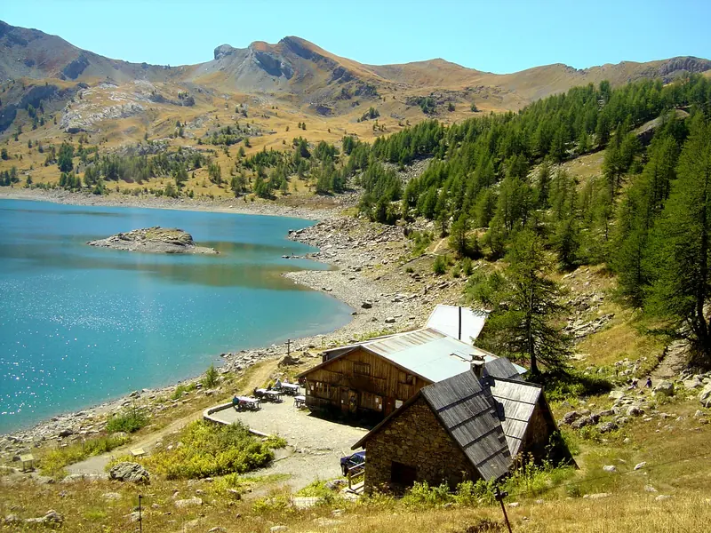
A 40-place municipal refuge on the lakeshore, staffed from June to September, half board.
Booking: 04 92 83 00 24
Tourist office page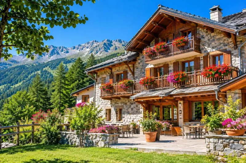
In the village and at La Foux, half an hour’s drive from Le Laus.
See the directory listings
Accommodation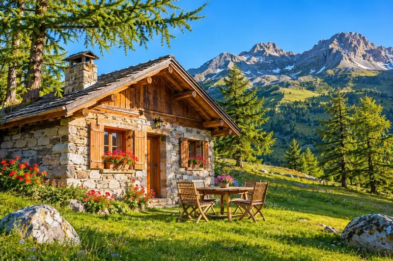
Chalets and holiday lets in the valley, to explore lake, passes and villages.
See the directory listings
Accommodation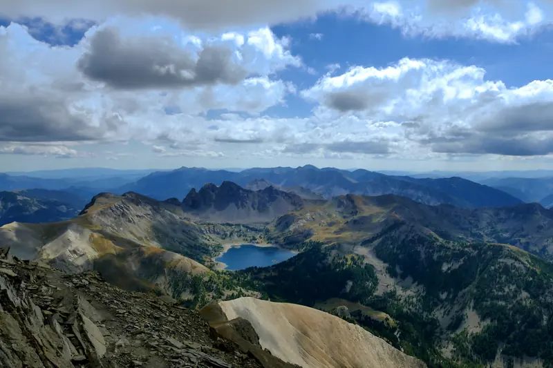
Every piece of information on this page was checked against official sources on 1 November 2026. Where they disagree (altitude, area, depth), we quote the Water Agency and say so.
Checked on
Page updated on